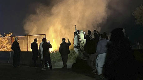
How do we form a picture of conflicts? A new study published in the journal Nature explores how different types of data can be combined to give a fuller understanding of armed conflicts. Lead author Valerie Sticher uses the examples of Ukraine and Myanmar to explain the advantages and limitations of automatically analyzed satellite data.